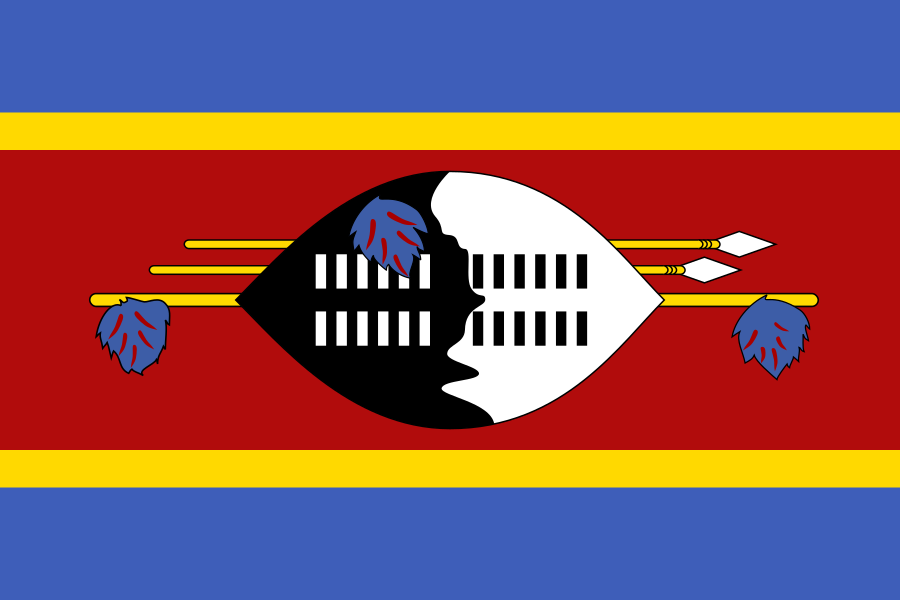
Verwaltungseinheiten
4 · Erste Ebene (ADM1)Boundaries shown do not imply endorsement.
HhohhoLubomboManziniShiselweni
Quelle: geoBoundaries CGAZ (ADM1)
| Indikator | Wert |
|---|---|
| Gesamtfläche | 17,360 km²World Bank WDI [2023] |
| Ausschließliche Wirtschaftszone (AWZ) | Keine offene amtliche Quelle gefunden |
| Verwaltungseinheiten (ADM1) | 4 EinheitengeoBoundaries [2026] |
| Lage | Südliches Afrika, zwischen Mosambik und SüdafrikaCIA World Factbook [2025] · 2026 archive |
| Küstenlinie | 0 km (landlocked)CIA World Factbook [2025] · 2026 archive |
| Landgrenzen | 546 kmCIA World Factbook [2025] · 2026 archive |
| Nachbarländer | Mosambik 108 km; Südafrika 438 kmCIA World Factbook [2025] · 2026 archive |
| Gelände | überwiegend Berge und Hügel; einige mäßig abfallende EbenenCIA World Factbook [2025] · 2026 archive |
| Klima | variiert von tropisch bis fast gemäßigtCIA World Factbook [2025] · 2026 archive |
| Bodenschätze | Asbest, Kohle, Ton, Kassiterit, Wasserkraft, Wälder, kleine Gold- und Diamantenvorkommen, Bruchstein und TalkumCIA World Factbook [2025] · 2026 archive |
| Höchster Punkt | Emlembe 1,862 mCIA World Factbook [2025] · 2026 archive |
| Niedrigster Punkt | Great Usutu River 21 mCIA World Factbook [2025] · 2026 archive |
| Mittlere Höhe | 305 mCIA World Factbook [2025] · 2026 archive |
| Fläche (vergleichend) | etwas kleiner als New JerseyCIA World Factbook [2025] · 2026 archive |
| Naturgefahren | DürreCIA World Factbook [2025] · 2026 archive |
| Seerechtliche Ansprüche | keine (Binnenstaat)CIA World Factbook [2025] · 2026 archive |