
| Indicator | Value |
|---|---|
| Total area | 200 km²World Bank WDI [2023] |
| Exclusive economic zone (EEZ) | No authoritative open source found |
| Administrative divisions (ADM1) | No authoritative open source found |
| Location | Oceania, group of islands in the South Pacific Ocean, about halfway between Hawaii and New ZealandCIA World Factbook [2025] · 2026 archive |
| Coastline | 116 kmCIA World Factbook [2025] · 2026 archive |
| Land boundaries | 0 kmCIA World Factbook [2025] · 2026 archive |
| Bordering countries | No authoritative open source found |
| Terrain | five volcanic islands with rugged peaks and limited coastal plains, two coral atolls (Rose Atoll, Swains Island)CIA World Factbook [2025] · 2026 archive |
| Climate | tropical marine, moderated by southeast trade winds; annual rainfall averages about 3 m; rainy season (November to April), dry season (May to October); little seasonal temperature variationCIA World Factbook [2025] · 2026 archive |
| Natural resources | pumice, pumiciteCIA World Factbook [2025] · 2026 archive |
| Highest point | Lata Mountain 964 mCIA World Factbook [2025] · 2026 archive |
| Lowest point | Pacific Ocean 0 mCIA World Factbook [2025] · 2026 archive |
| Mean elevation | No authoritative open source found |
| Area (comparative) | slightly larger than Washington, D.C.CIA World Factbook [2025] · 2026 archive |
| Natural hazards | cyclones common from December to March volcanism: limited volcanic activity on the Ofu and Olosega Islands; neither has erupted since the 19th centuryCIA World Factbook [2025] · 2026 archive |
| Maritime claims | territorial sea: 12 nm; exclusive economic zone: 200 nmCIA World Factbook [2025] · 2026 archive |
Geography
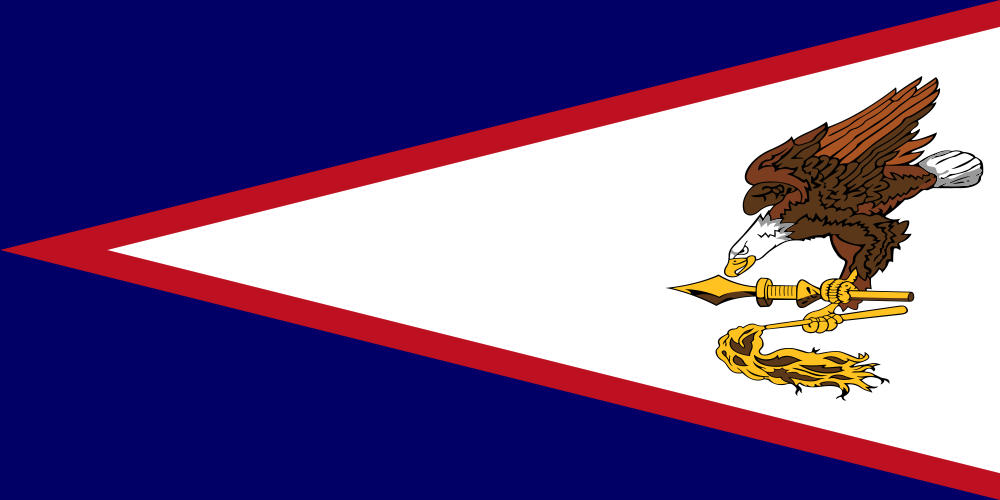
American Samoa
Section metadata
Data year2025
EditionDatabook 2026
Coverage12/16
LicenseCC-BY

Datasets on this page
- World Bank WDIworld_bank_wdiEdition: 2024
- CIA World Factbookcia_factbookEdition: 2025
About this data
American Samoa's geography on Databook compiles 12 indicators from 2 open datasets including World Bank WDI, CIA World Factbook. Key figures include total area (200 km²), location (Oceania, group of islands in the South Pacific Ocean, about halfway between Hawaii and New Zealand). Data is referenced to 2025. Every value carries its source and publication year, published under open licenses.