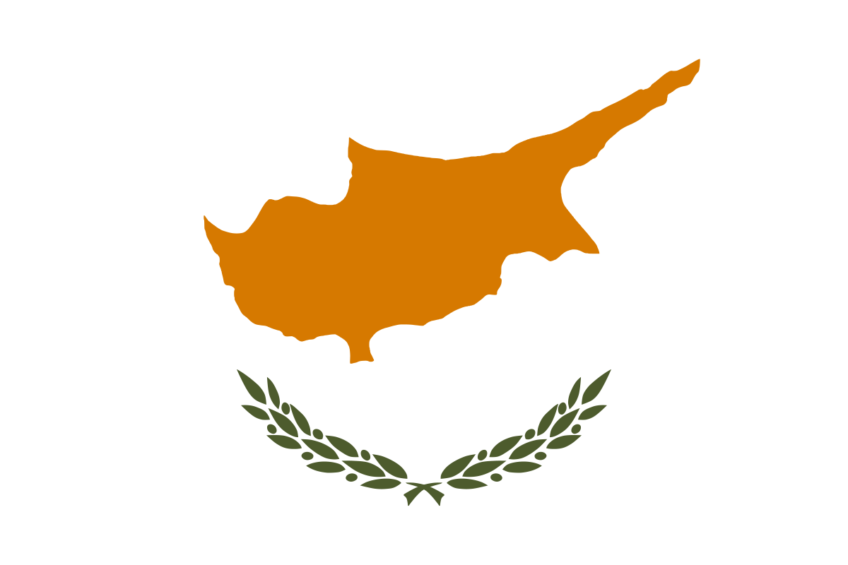
Administrative divisions
6 · First-level (ADM1)Boundaries shown do not imply endorsement.
FamagustaKyreniaLarnacaLimassolNicosiaPaphos
Source: geoBoundaries CGAZ (ADM1)
| Indicator | Value |
|---|---|
| Total area | 9,250 km²World Bank WDI [2023] |
| Exclusive economic zone (EEZ) | 98,450 km²Marine Regions [2024] |
| Administrative divisions (ADM1) | 6 divisionsgeoBoundaries [2026] |
| Location | Middle East, island in the Mediterranean Sea, south of Turkey; note - Cyprus views itself as part of Europe; geopolitically, it can be classified as falling within Europe, the Middle East, or bothCIA World Factbook [2025] · 2026 archive |
| Coastline | 648 kmCIA World Factbook [2025] · 2026 archive |
| Land boundaries | 156 kmCIA World Factbook [2025] · 2026 archive |
| Bordering countries | No authoritative open source found |
| Terrain | central plain with mountains to north and south; scattered but significant plains along southern coastCIA World Factbook [2025] · 2026 archive |
| Climate | temperate; Mediterranean with hot, dry summers and cool wintersCIA World Factbook [2025] · 2026 archive |
| Natural resources | copper, pyrites, asbestos, gypsum, timber, salt, marble, clay earth pigmentCIA World Factbook [2025] · 2026 archive |
| Highest point | Mount Olympus 1,951 mCIA World Factbook [2025] · 2026 archive |
| Lowest point | Mediterranean Sea 0 mCIA World Factbook [2025] · 2026 archive |
| Mean elevation | 91 mCIA World Factbook [2025] · 2026 archive |
| Area (comparative) | about 0.6 times the size of ConnecticutCIA World Factbook [2025] · 2026 archive |
| Natural hazards | moderate earthquake activity; droughtsCIA World Factbook [2025] · 2026 archive |
| Maritime claims | territorial sea: 12 nm; contiguous zone: 24 nm; continental shelf: 200-m depth or to the depth of exploitationCIA World Factbook [2025] · 2026 archive |