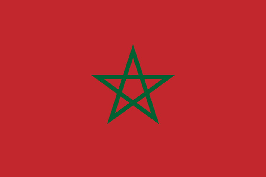
Administrative divisions
11 · First-level (ADM1)Boundaries shown do not imply endorsement.
Béni Mellal-KhénifraCasablanca-SettatDrâa-TafilaletFez-MeknesGuelmim-Oued NounLaâyoune-Sakia El HamraMarrakech-SafiOrientalRabat-Salé-KenitraSouss-MassaTangier-Tetouan-Al Hoceima
Source: geoBoundaries CGAZ (ADM1)
| Indicator | Value |
|---|---|
| Total area | 446,600 km²World Bank WDI [2023] |
| Exclusive economic zone (EEZ) | 280,500 km²Marine Regions [2024] |
| Administrative divisions (ADM1) | 11 divisionsgeoBoundaries [2026] |
| Location | Northern Africa, bordering the North Atlantic Ocean and the Mediterranean Sea, between Algeria and MauritaniaCIA World Factbook [2025] · 2026 archive |
| Coastline | 2,945 kmCIA World Factbook [2025] · 2026 archive |
| Land boundaries | 3,523.5 kmCIA World Factbook [2025] · 2026 archive |
| Bordering countries | Algeria 1,941 km; Mauritania 1,564 km; Spain (Ceuta) 8 km and Spain (Melilla) 10.5 kmCIA World Factbook [2025] · 2026 archive |
| Terrain | mountainous northern coast (Rif Mountains) and interior (Atlas Mountains) bordered by large plateaus with intermontane valleys, and fertile coastal plains; the south is mostly low, flat desert with large areas of rocky or sandy surfaces CIA World Factbook [2025] · 2026 archive |
| Climate | Mediterranean in the north, becoming more extreme in the interior; in the south, hot, dry desert; rain is rare; cold offshore air currents produce fog and heavy dew; note: data does not include former Western SaharaCIA World Factbook [2025] · 2026 archive |
| Natural resources | phosphates, iron ore, manganese, lead, zinc, fish, saltCIA World Factbook [2025] · 2026 archive |
| Highest point | Jebel Toubkal 4,165 mCIA World Factbook [2025] · 2026 archive |
| Lowest point | Sebkha Tah -59 mCIA World Factbook [2025] · 2026 archive |
| Mean elevation | 909 mCIA World Factbook [2025] · 2026 archive |
| Area (comparative) | slightly larger than twice the size of CaliforniaCIA World Factbook [2025] · 2026 archive |
| Natural hazards | in the north, the mountains are geologically unstable and subject to earthquakes; periodic droughts; windstorms; flash floods; landslides; in the south, a hot, dry, dust/sand-laden sirocco wind can occur during winter and spring; widespread harmattan haze exists 60% of time, often severely restricting visibilityCIA World Factbook [2025] · 2026 archive |
| Maritime claims | territorial sea: 12 nm; contiguous zone: 24 nm; exclusive economic zone: 200 nm; continental shelf: 200-m depth or to the depth of exploitationCIA World Factbook [2025] · 2026 archive |