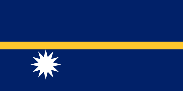
Administrative divisions
14 · First-level (ADM1)Boundaries shown do not imply endorsement.
AiwoAnabarAnetanAnibareBaitiBoeBuadaDenigomoduEwaIjuwMenengNibokUaboeYaren
Source: geoBoundaries CGAZ (ADM1)
| Indicator | Value |
|---|---|
| Total area | 20 km²World Bank WDI [2023] |
| Exclusive economic zone (EEZ) | 309,300 km²Marine Regions [2024] |
| Administrative divisions (ADM1) | 14 divisionsgeoBoundaries [2026] |
| Location | Oceania, island in the South Pacific Ocean, south of the Marshall IslandsCIA World Factbook [2025] · 2026 archive |
| Coastline | 30 kmCIA World Factbook [2025] · 2026 archive |
| Land boundaries | 0 kmCIA World Factbook [2025] · 2026 archive |
| Bordering countries | No authoritative open source found |
| Terrain | sandy beach rises to fertile ring around raised coral reefs with phosphate plateau in centerCIA World Factbook [2025] · 2026 archive |
| Climate | tropical with a monsoonal pattern; rainy season (November to February)CIA World Factbook [2025] · 2026 archive |
| Natural resources | phosphates, fishCIA World Factbook [2025] · 2026 archive |
| Highest point | Command Ridge 70 mCIA World Factbook [2025] · 2026 archive |
| Lowest point | Pacific Ocean 0 mCIA World Factbook [2025] · 2026 archive |
| Mean elevation | No authoritative open source found |
| Area (comparative) | about 0.1 times the size of Washington, D.C.CIA World Factbook [2025] · 2026 archive |
| Natural hazards | periodic droughtsCIA World Factbook [2025] · 2026 archive |
| Maritime claims | territorial sea: 12 nm; contiguous zone: 24 nm; exclusive economic zone: 200 nmCIA World Factbook [2025] · 2026 archive |