
| Indicator | Value |
|---|---|
| Total area | No authoritative open source found |
| Exclusive economic zone (EEZ) | No authoritative open source found |
| Administrative divisions (ADM1) | No authoritative open source found |
| Location | Oceania, island in the South Pacific Ocean, east of AustraliaCIA World Factbook [2025] · 2026 archive |
| Coastline | 32 kmCIA World Factbook [2025] · 2026 archive |
| Land boundaries | 0 kmCIA World Factbook [2025] · 2026 archive |
| Bordering countries | No authoritative open source found |
| Terrain | volcanic island with mostly rolling plainsCIA World Factbook [2025] · 2026 archive |
| Climate | subtropical; mild, little seasonal temperature variationCIA World Factbook [2025] · 2026 archive |
| Natural resources | fishCIA World Factbook [2025] · 2026 archive |
| Highest point | Mount Bates 319 mCIA World Factbook [2025] · 2026 archive |
| Lowest point | Pacific Ocean 0 mCIA World Factbook [2025] · 2026 archive |
| Mean elevation | No authoritative open source found |
| Area (comparative) | about 0.2 times the size of Washington, D.C.CIA World Factbook [2025] · 2026 archive |
| Natural hazards | tropical cyclones (especially May to July)CIA World Factbook [2025] · 2026 archive |
| Maritime claims | territorial sea: 12 nm; contiguous zone: 24 nm; exclusive fishing zone: 200 nmCIA World Factbook [2025] · 2026 archive |
Geography
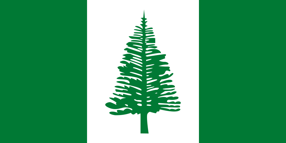
Norfolk Island
Section metadata
Data year2025
EditionDatabook 2026
Coverage11/16
LicenseCC-BY

Datasets on this page
- CIA World Factbookcia_factbookEdition: 2025
About this data
Norfolk Island's geography on Databook compiles 11 indicators from 1 open datasets including CIA World Factbook. Key figures include location (Oceania, island in the South Pacific Ocean, east of Australia), coastline (32 km). Data is referenced to 2025. Every value carries its source and publication year, published under open licenses.