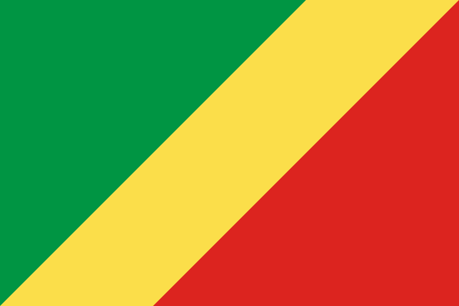
Administrative divisions
12 · First-level (ADM1)Boundaries shown do not imply endorsement.
BouenzaBrazzavilleCuvetteCuvette-OuestKouilouLikoualaLékoumouNiariPlateauxPointe-NoirePoolSangha
Source: geoBoundaries CGAZ (ADM1)
| Indicator | Value |
|---|---|
| Total area | 342,000 km²World Bank WDI [2023] |
| Exclusive economic zone (EEZ) | 33,810 km²Marine Regions [2024] |
| Administrative divisions (ADM1) | 12 divisionsgeoBoundaries [2026] |
| Location | Central Africa, bordering the South Atlantic Ocean, between Angola and GabonCIA World Factbook [2025] · 2026 archive |
| Coastline | 169 kmCIA World Factbook [2025] · 2026 archive |
| Land boundaries | 5,554 kmCIA World Factbook [2025] · 2026 archive |
| Bordering countries | Angola 231 km; Cameroon 494 km; Central African Republic 487 km; Democratic Republic of the Congo 1,775 km; Gabon 2,567 kmCIA World Factbook [2025] · 2026 archive |
| Terrain | coastal plain, southern basin, central plateau, northern basinCIA World Factbook [2025] · 2026 archive |
| Climate | tropical; rainy season (March to June); dry season (June to October); persistent high temperatures and humidity; particularly enervating climate astride the EquatorCIA World Factbook [2025] · 2026 archive |
| Natural resources | petroleum, timber, potash, lead, zinc, uranium, copper, phosphates, gold, magnesium, natural gas, hydropowerCIA World Factbook [2025] · 2026 archive |
| Highest point | Mont Nabeba 1,020 mCIA World Factbook [2025] · 2026 archive |
| Lowest point | Atlantic Ocean 0 mCIA World Factbook [2025] · 2026 archive |
| Mean elevation | 430 mCIA World Factbook [2025] · 2026 archive |
| Area (comparative) | slightly smaller than Montana; about twice the size of FloridaCIA World Factbook [2025] · 2026 archive |
| Natural hazards | seasonal floodingCIA World Factbook [2025] · 2026 archive |
| Maritime claims | territorial sea: 12 nm; contiguous zone: 24 nm; exclusive economic zone: 200 nmCIA World Factbook [2025] · 2026 archive |