| Indicator | Value |
|---|---|
| ISO 3166 alpha-2 | CGISO 3166 [2024] |
| ISO 3166 alpha-3 | COGISO 3166 [2024] |
| Capital | BrazzavilleGeoNames [2024] |
| Continent | AfricaGeoNames [2024] |
| Common name | Congo (Brazzaville)CIA World Factbook [2025] · 2026 archive |
| Official name | Republic of the CongoCIA World Factbook [2025] · 2026 archive |
| Local name | CongoCIA World Factbook [2025] · 2026 archive |
| Etymology | named for the Congo River, which makes up much of the country's eastern border; the river name derives from Kongo, a Bantu kingdom in the areaCIA World Factbook [2025] · 2026 archive |
| Government type | Presidential republicCIA World Factbook [2025] · 2026 archive |
| Independence | 15 August 1960 (from France)CIA World Factbook [2025] · 2026 archive |
| National holiday | Independence Day, 15 August (1960)CIA World Factbook [2025] · 2026 archive |
| Head of state | No authoritative open source found |
| Currency code (ISO 4217) | No authoritative open source found |
| Currency | No authoritative open source found |
| Administrative subdivisions | 12ISO 3166-2 Subdivisions [2026] |
| Subdivision names | Bouenza / Brazzaville / Cuvette / Cuvette-Ouest / Kouilou / Likouala / Lékoumou / Niari / Plateaux / Pointe-Noire / Pool / SanghaISO 3166-2 Subdivisions [2026] |
| Historical overview | No authoritative open source found |
| National symbols | lion, elephantCIA World Factbook [2025] · 2026 archive |
| National anthem | title: "La Congolaise" (The Congolese); lyrics/music: Jacques TONDRA and Georges KIBANGHI/Jean ROYER and Joseph SPADILIERE; history: originally adopted 1959, restored 1991CIA World Factbook [2025] · 2026 archive |
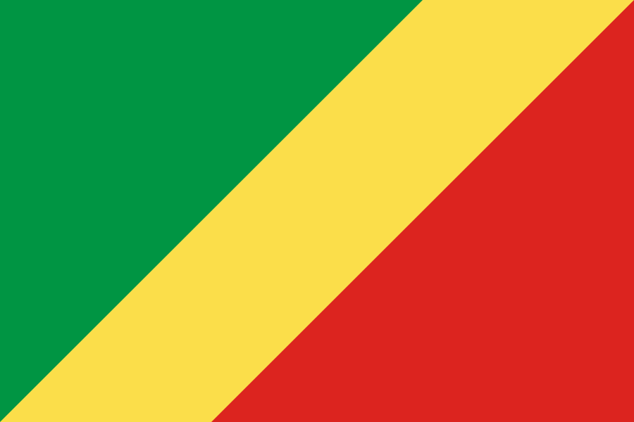
| National colors | green, yellow, redCIA World Factbook [2025] · 2026 archive |
| Citizenship rules | citizenship by birth: no; citizenship by descent only: at least one parent must be a citizen of the Republic of the Congo; dual citizenship recognized: no; residency requirement for naturalization: 10 yearsCIA World Factbook [2025] · 2026 archive |
named for the Congo River, which makes up much of the country's eastern border; the river name derives from Kongo, a Bantu kingdom in the area
description: divided diagonally from the lower-left side by a wide yellow band; the upper triangle (left side) is green, and the lower triangle is red meaning: green stands for agriculture and forests, and yellow for the people's friendship and nobility; the meaning of the red color is not noted but has been associated with the struggle for independence
Source: CIA World Factbook (Historical Archive — final edition) · CC0 · Edition 2026-05