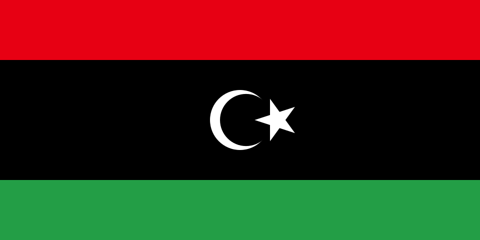
Administrative divisions
22 · First-level (ADM1)Boundaries shown do not imply endorsement.
AjdabiyaAl ButnanAl Jabal al AkhdarAl JifarahAl JufrahAl KufrahAl MarjAl MarqabAl QubbahAn Nuqat al KhamsAsh Shati'Az ZawiyahBenghaziGhadamisGhatMisratahMizdahMurzuqSabhaSurtTajura' wa an Nawahi al ArbaWadi al Hayaa
Source: geoBoundaries CGAZ (ADM1)
| Indicator | Value |
|---|---|
| Total area | 1,760,000 km²World Bank WDI [2023] |
| Exclusive economic zone (EEZ) | 357,400 km²Marine Regions [2024] |
| Administrative divisions (ADM1) | 22 divisionsgeoBoundaries [2026] |
| Location | Northern Africa, bordering the Mediterranean Sea, between Egypt, Tunisia, and AlgeriaCIA World Factbook [2025] · 2026 archive |
| Coastline | 1,770 kmCIA World Factbook [2025] · 2026 archive |
| Land boundaries | 4,339 kmCIA World Factbook [2025] · 2026 archive |
| Bordering countries | Algeria 989 km; Chad 1,050 km; Egypt 1,115 km; Niger 342 km; Sudan 382 km; Tunisia 461 kmCIA World Factbook [2025] · 2026 archive |
| Terrain | mostly barren, flat to undulating plains, plateaus, depressionsCIA World Factbook [2025] · 2026 archive |
| Climate | Mediterranean along coast; dry, extreme desert interiorCIA World Factbook [2025] · 2026 archive |
| Natural resources | petroleum, natural gas, gypsumCIA World Factbook [2025] · 2026 archive |
| Highest point | Bikku Bitti 2,267 mCIA World Factbook [2025] · 2026 archive |
| Lowest point | Sabkhat Ghuzayyil -47 mCIA World Factbook [2025] · 2026 archive |
| Mean elevation | 423 mCIA World Factbook [2025] · 2026 archive |
| Area (comparative) | about 2.5 times the size of Texas; slightly larger than AlaskaCIA World Factbook [2025] · 2026 archive |
| Natural hazards | hot, dry, dust-laden ghibli is a southern wind lasting one to four days in spring and fall; dust storms, sandstormsCIA World Factbook [2025] · 2026 archive |
| Maritime claims | territorial sea: 12 nm; exclusive fishing zone: 62 nm; note: Gulf of Sidra closing line - 32 degrees, 30 minutes northCIA World Factbook [2025] · 2026 archive |