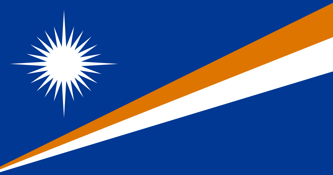
Administrative divisions
22 · First-level (ADM1)AilinglaplapAilukArnoAurEbonEnewetakJabatJaluitKiliKwajaleinLaeLikiepMajuroMaloelapMejitMiliNamdrikNamuUjaeUtirikWothoWotje
Source: geoBoundaries CGAZ (ADM1)
| Indicator | Value |
|---|---|
| Total area | 180 km²World Bank WDI [2023] |
| Exclusive economic zone (EEZ) | 2,002,000 km²Marine Regions [2024] |
| Administrative divisions (ADM1) | 22 divisionsgeoBoundaries [2026] |
| Location | Oceania, consists of 29 atolls and five isolated islands in the North Pacific Ocean, about halfway between Hawaii and Australia; the atolls and islands are situated in two, almost-parallel island chains - the Ratak (Sunrise) group and the Ralik (Sunset) group; the total number of islands and islets is about 1,225; 22 of the atolls and four of the islands are uninhabitedCIA World Factbook [2025] · 2026 archive |
| Coastline | 370.4 kmCIA World Factbook [2025] · 2026 archive |
| Land boundaries | 0 kmCIA World Factbook [2025] · 2026 archive |
| Bordering countries | No authoritative open source found |
| Terrain | low coral limestone and sand islandsCIA World Factbook [2025] · 2026 archive |
| Climate | tropical; hot and humid; wet season May to November; islands border typhoon beltCIA World Factbook [2025] · 2026 archive |
| Natural resources | coconut products, marine products, deep seabed mineralsCIA World Factbook [2025] · 2026 archive |
| Highest point | East-central Airik Island, Maloelap Atoll 14 mCIA World Factbook [2025] · 2026 archive |
| Lowest point | Pacific Ocean 0 mCIA World Factbook [2025] · 2026 archive |
| Mean elevation | 2 mCIA World Factbook [2025] · 2026 archive |
| Area (comparative) | about the size of Washington, D.C.CIA World Factbook [2025] · 2026 archive |
| Natural hazards | infrequent typhoonsCIA World Factbook [2025] · 2026 archive |
| Maritime claims | territorial sea: 12 nm; contiguous zone: 24 nm; exclusive economic zone: 200 nmCIA World Factbook [2025] · 2026 archive |