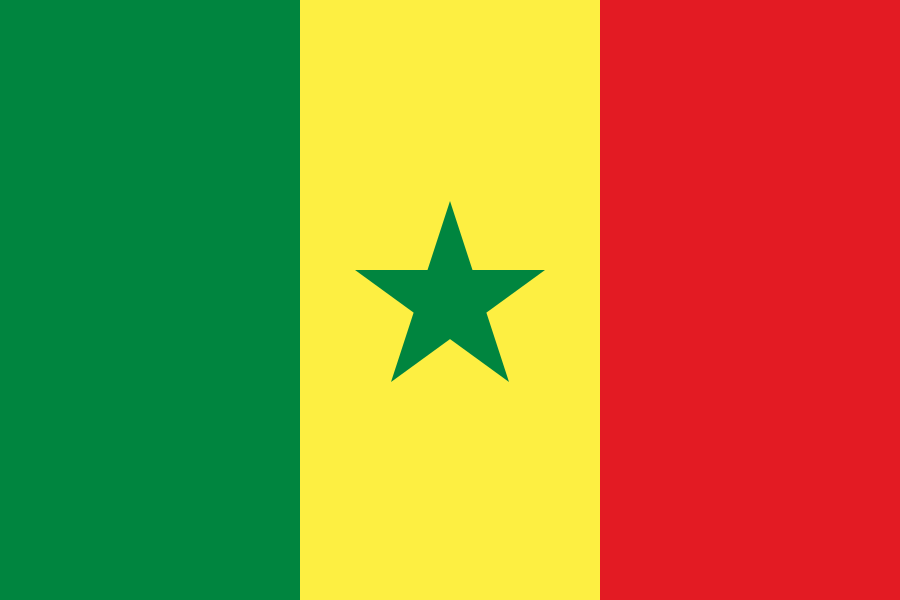
Administrative divisions
14 · First-level (ADM1)Boundaries shown do not imply endorsement.
DakarDiourbelFatickKaffrineKaolackKedougouKoldaLougaMatamSaint LouisSedhiouTambacoundaThiesZiguinchor
Source: geoBoundaries CGAZ (ADM1)
| Indicator | Value |
|---|---|
| Total area | 196,700 km²World Bank WDI [2023] |
| Exclusive economic zone (EEZ) | 158,400 km²Marine Regions [2024] |
| Administrative divisions (ADM1) | 14 divisionsgeoBoundaries [2026] |
| Location | Western Africa, bordering the North Atlantic Ocean, between Guinea-Bissau and MauritaniaCIA World Factbook [2025] · 2026 archive |
| Coastline | 531 kmCIA World Factbook [2025] · 2026 archive |
| Land boundaries | 2,684 kmCIA World Factbook [2025] · 2026 archive |
| Bordering countries | The Gambia 749 km; Guinea 363 km; Guinea-Bissau 341 km; Mali 489 km; Mauritania 742 kmCIA World Factbook [2025] · 2026 archive |
| Terrain | generally low, rolling, plains rising to foothills in southeastCIA World Factbook [2025] · 2026 archive |
| Climate | tropical; hot, humid; rainy season (May to November) has strong southeast winds; dry season (December to April) dominated by hot, dry, harmattan windCIA World Factbook [2025] · 2026 archive |
| Natural resources | fish, phosphates, iron oreCIA World Factbook [2025] · 2026 archive |
| Highest point | unnamed elevation 2.8 km southeast of Nepen Diaka 648 mCIA World Factbook [2025] · 2026 archive |
| Lowest point | Atlantic Ocean 0 mCIA World Factbook [2025] · 2026 archive |
| Mean elevation | 69 mCIA World Factbook [2025] · 2026 archive |
| Area (comparative) | slightly smaller than South Dakota; slightly larger than twice the size of IndianaCIA World Factbook [2025] · 2026 archive |
| Natural hazards | lowlands seasonally flooded; periodic droughtsCIA World Factbook [2025] · 2026 archive |
| Maritime claims | territorial sea: 12 nm; contiguous zone: 24 nm; exclusive economic zone: 200 nm; continental shelf: 200 nm or to the edge of the continental marginCIA World Factbook [2025] · 2026 archive |