
| Indicator | Value |
|---|---|
| Total area | No authoritative open source found |
| Exclusive economic zone (EEZ) | No authoritative open source found |
| Administrative divisions (ADM1) | No authoritative open source found |
| Location | Southern South America, islands in the South Atlantic Ocean, east of the tip of South AmericaCIA World Factbook [2025] · 2026 archive |
| Coastline | NACIA World Factbook [2025] · 2026 archive |
| Land boundaries | 0 kmCIA World Factbook [2025] · 2026 archive |
| Bordering countries | No authoritative open source found |
| Terrain | most of the islands are rugged and mountainous rising steeply from the sea; South Georgia is largely barren with steep, glacier-covered mountains; the South Sandwich Islands are of volcanic origin with some active volcanoesCIA World Factbook [2025] · 2026 archive |
| Climate | variable, with mostly westerly winds throughout the year interspersed with periods of calm; nearly all precipitation falls as snowCIA World Factbook [2025] · 2026 archive |
| Natural resources | fishCIA World Factbook [2025] · 2026 archive |
| Highest point | Mount Paget (South Georgia) 2,934 mCIA World Factbook [2025] · 2026 archive |
| Lowest point | Atlantic Ocean 0 mCIA World Factbook [2025] · 2026 archive |
| Mean elevation | No authoritative open source found |
| Area (comparative) | slightly larger than Rhode IslandCIA World Factbook [2025] · 2026 archive |
| Natural hazards | the South Sandwich Islands have prevailing weather conditions that generally make them difficult to approach by ship; they are also subject to active volcanismCIA World Factbook [2025] · 2026 archive |
| Maritime claims | territorial sea: 12 nm; exclusive fishing zone: 200 nmCIA World Factbook [2025] · 2026 archive |
Geography
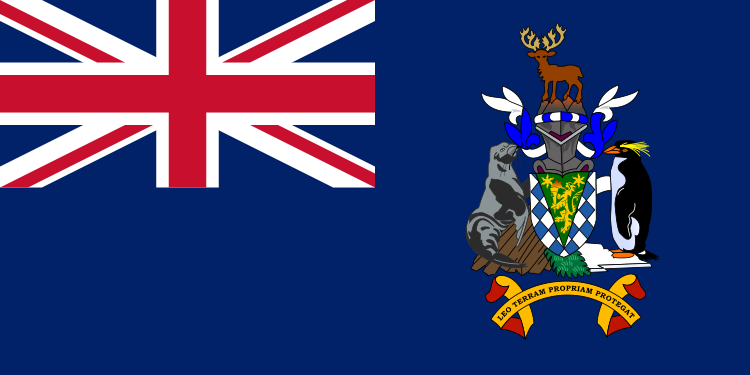
South Georgia and South Sandwich Islands
Section metadata
Data year2025
EditionDatabook 2026
Coverage11/16
LicenseCC-BY

Datasets on this page
- CIA World Factbookcia_factbookEdition: 2025
About this data
South Georgia and South Sandwich Islands's geography on Databook compiles 11 indicators from 1 open datasets including CIA World Factbook. Key figures include location (Southern South America, islands in the South Atlantic Ocean, east of the tip of South America), coastline (NA). Data is referenced to 2025. Every value carries its source and publication year, published under open licenses.