
| Indicator | Value |
|---|---|
| Total area | 12,960 km²World Bank WDI [2023] |
| Exclusive economic zone (EEZ) | No authoritative open source found |
| Administrative divisions (ADM1) | No authoritative open source found |
| Location | Northern Europe, island group between the Norwegian Sea and the North Atlantic Ocean, about halfway between Iceland and NorwayCIA World Factbook [2025] · 2026 archive |
| Coastline | 1,117 kmCIA World Factbook [2025] · 2026 archive |
| Land boundaries | 0 kmCIA World Factbook [2025] · 2026 archive |
| Bordering countries | No authoritative open source found |
| Terrain | rugged, rocky, some low peaks; cliffs along most of coastCIA World Factbook [2025] · 2026 archive |
| Climate | mild winters, cool summers; usually overcast; foggy, windyCIA World Factbook [2025] · 2026 archive |
| Natural resources | fish, whales, hydropower, possible oil and gasCIA World Factbook [2025] · 2026 archive |
| Highest point | Slaettaratindur 882 mCIA World Factbook [2025] · 2026 archive |
| Lowest point | Atlantic Ocean 0 mCIA World Factbook [2025] · 2026 archive |
| Mean elevation | No authoritative open source found |
| Area (comparative) | eight times the size of Washington, D.C.CIA World Factbook [2025] · 2026 archive |
| Natural hazards | strong winds and heavy rains can occur throughout the yearCIA World Factbook [2025] · 2026 archive |
| Maritime claims | territorial sea: 12 nm; continental shelf: 200 nm or agreed boundaries or median line; exclusive fishing zone: 200 nm or agreed boundaries or median lineCIA World Factbook [2025] · 2026 archive |
Geography
Faroe Islands
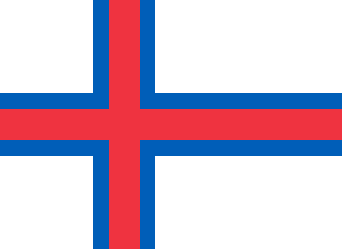
Section metadata
Data year2025
EditionDatabook 2026
Coverage12/16
LicenseCC-BY

Datasets on this page
- World Bank WDIworld_bank_wdiEdition: 2024
- CIA World Factbookcia_factbookEdition: 2025
About this data
Faroe Islands's geography on Databook compiles 12 indicators from 2 open datasets including World Bank WDI, CIA World Factbook. Key figures include total area (12,960 km²), location (Northern Europe, island group between the Norwegian Sea and the North Atlantic Ocean, about halfway between Iceland and Norway). Data is referenced to 2025. Every value carries its source and publication year, published under open licenses.